Prepare for rain, storm impacts November 13-16, 2025
Please take steps to prepare for rain and storm impacts beginning Thursday, November 13 and lasting through the weekend.
FLOOD WATCH NOW IN EFFECT MIDNIGHT FRIDAY THROUGH SATURDAY EVENING
National Weather Service: Excessive runoff may result in flooding of roads, rivers, creeks, streams, and other low-lying and flood-prone locations, including Highway 101. There will be a break between Friday afternoon and early Saturday morning when little to no rain is expected. Rain rates up to 1 inch per hour are possible.
FORECAST DETAILS (Updated Thursday, November 13 - 2:45 p.m.)
According to the National Weather Service, rain will begin in Santa Barbara County on Thursday, November 13. Peak storm impacts are expected on Thursday evening, overnight Friday and throughout the day Saturday. The most significant storm impacts are expected Saturday. Rain is expected on and off through Sunday.
The expected rain totals from Thursday to Saturday are 2-5 inches at the coast and 4-8 inches for the mountains and foothills. Rain rates are anticipated to be generally 0.25-0.5 inches per hour, with potential for up to 1 inch per hour.
The National Weather Service is forecasting a wide range of outcomes that may vary by 1-2 inches over the four-day storm period (Thursday-Sunday).
From Thursday to Friday night, the Santa Barbara South Coast is projected to receive generally 1.5-3 inches of rain.
The second half of the storm, Friday night through Sunday, may result in final rain totals of about 4-6 inches for most of the Santa Barbara South Coast. The mountains and foothills could see up to 8 inches total by Sunday.
There is a slight chance of thunderstorms Thursday night, Friday night and all day Saturday. Thunderstorms may produce gusty, damaging winds.
The forecast for Saturday remains uncertain. Please stay tuned for forecast updates.


Given the current forecast information, evacuations are NOT being considered for Montecito.
Please prepare now for potential storm impacts. Gusty winds may cause downed trees and power lines, leading to isolated power outages. Be cautious of loose or falling rocks, mud, debris, and flooded roadways. If possible, avoid travel on Saturday due to hazardous storm conditions.
INFORMATION SOURCES
Listen to Montecito Fire Department’s AM1610 radio station for updates and follow @MontecitoFire on social media.
Register for ReadySBC Alerts at ReadySBC.org
SANDBAG INFORMATION
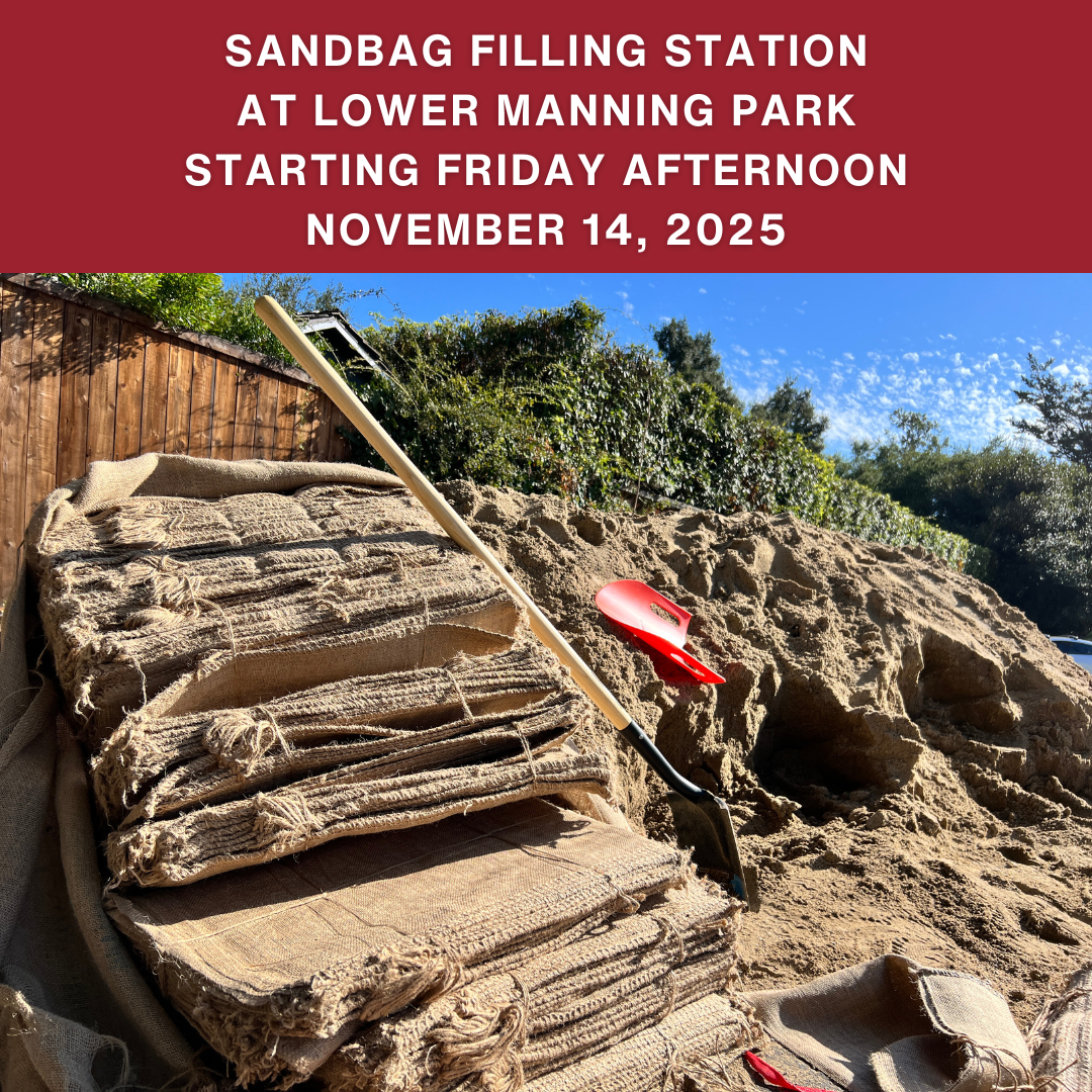
Starting Friday afternoon, November 14, a sandbag filling station will be available for community members at Lower Manning Park. Sandbags are not available at Lower Manning sooner than Friday afternoon due to an ongoing construction project at the park. Burlap bags are available for pickup at Montecito Fire Station 91 - 595 San Ysidro Road.
The City of Santa Barbara's sandbag filling station at Fire Station 77 at 2411 Stanwood Drive will open Thursday, November 13. Check here for more sandbag stations in Santa Barbara.
The County of Santa Barbara has a list of alternate locations to fill sandbags.
Sandbags are not pre-filled and persons are limited to 25 bags.
More information concerning sandbags is available from County Flood Control at 805-568-3440.